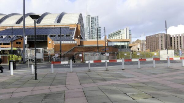
Looking for the route.
Looking across Lower Mosley Street, at the top of the embankment in the next (right) photo there’s no visible trace of the canal. It would have been at a lower level so it passed under the road and building with the curved roof, a little to the left of centre in this photo. Much of the canal’s route was built over, even before the canal closed, making it seem like it was in a tunnel.
| Waterway and Kilometerage |
MASJ 00.885.01 |
| OS Grid Reference |
SJ 83799 97708 |
| Date and Time |
160201 121800 |
| Copyright © |
Paul Balmer |


Recent Comments