Anglo Welsh have a hire base near Oxford (at Eynsham) on the River Thames.

If you are cruising from there it’s essential you obtain a map which shows where all the waterway features are. Not only the locks and bridges but the places you can moor too.
Your will need the map to plan use of the facilities, such as the water points you need to stop at each day to fill up the water tank on the boat.
Watching a DVD will help give you an idea of what’s involved, particularly if you are a first time hirer, and give you a feel for what your holiday will be like.
Maps from Waterway Routes
These are the most up to date maps available, with monthly updates issued whenever there are changes.
Best of all they are available to download. There’s no waiting for the postman to deliver a map from other suppliers, which may have gone to print several years ago.
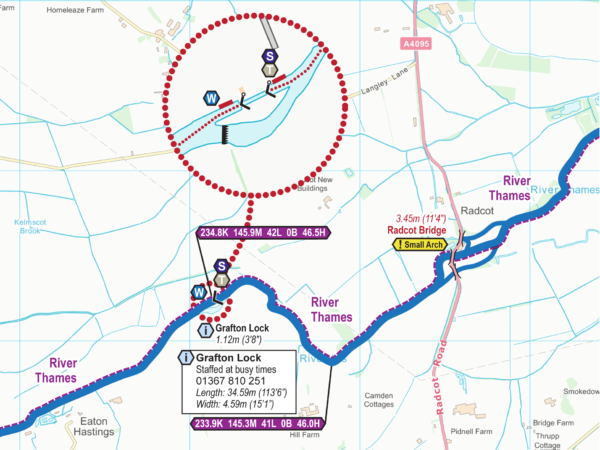
The maps are available in both Acrobat (pdf) format, ready for printing, or Memory-Map (qct) format with GPS tracking on smartphones and tablets.
Depending on the route you are following these maps will be essential for your cruise:
DVDs from Waterway Routes
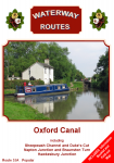
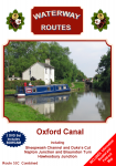
These DVDs give you an idea what a cruise on the Oxford Canal will be like.
The Popular format is like a television programme showing the highlights of a cruise with commentary and background music.
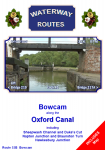
The Bowcam format is produced for a little fun and shows the view from a forward facing camera, speeded up to see the whole journey in 80 minutes.
Like wholemeal bread all the goodness is there, with nothing taken out.
The Combined format gives you the best of both worlds.
With both Popular and Bowcam in one box, this saves you money.
Choose DVDs from
Ordering Maps and DVDs

There’s a 10% discount when you buy a matching Map and DVD together.
Many Ideas
There are many great ideas for other waterways and more places, so please browse through my website to see the great range if information.
Recent Comments