| < River Ouse Junction | This is the past page |
| < Next | River Foss |
220630-133431 – SE 60927 53504 – FOSS 03-130 – © Paul Balmer
A pipe crosses the River Foss just above water level and forms the limit of navigation, around 3.13 kilometres or 1.95 miles from the junction with the River Ouse.
130812-180507 – SE 60887 53535 – FOSS 03-190 – © Paul Balmer
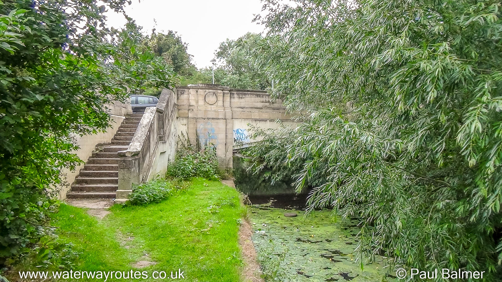
A few metres upstream from the pipe which prevents navigation the path alongside the River Foss ends at Huntington Road Bridge.
 RSS Blog Feed
Where can I safely access the Foss between the junction with the Ouse and the limit of navigation?
My FREE River Foss Map shows everything I know about the river and should answer your question.