St Helens Canal
History
The St Helens Canal ran from the River Mersey near Warrington to reach the outskirts of St Helens. It’s sometimes known as the Sankey Canal as it used the line of the Sankey Brook in places. The broad locks enabled the barges already in use on the River Mersey to reach the Lancashire Coalfields.
The main line of the St Helens Canal was open by 1757, pre-dating the Bridgewater Canal by at least six years despite many claims that the Bridgewater Canal was the first. Over the next twenty years four branches extended the St Helens Canal to reach the centre of St Helens and an extension of the main line reached Widnes.
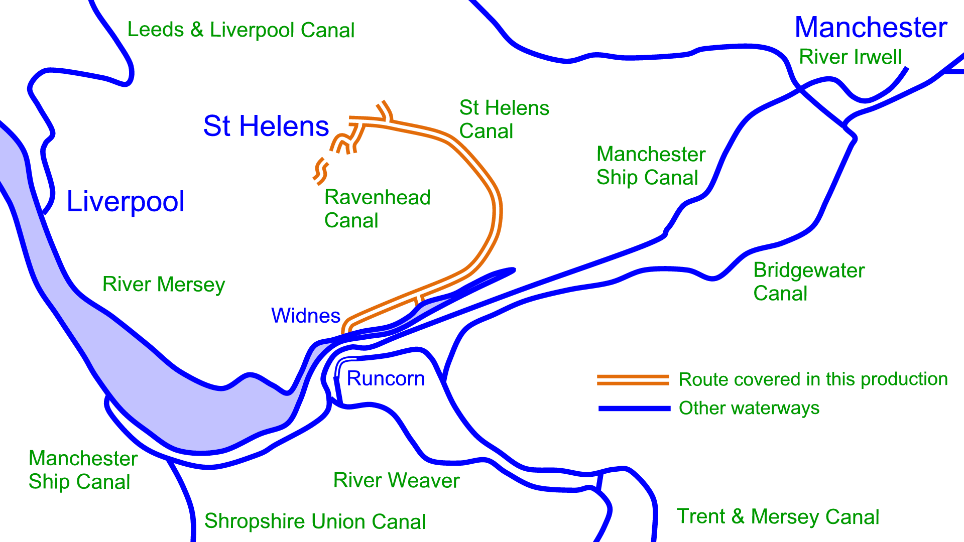
The far end of the Ravenhead Branch was filled in over 100 years ago and gradual decline led to official abandonment of the canal in 1963.
Proposals for restoration face many obstacles but progress is already being made with the Linking the Locks project, restoring the line between the locks to the River Mersey at Widnes and Fiddler’s Ferry, with more information on the website of the Sankey Canal Restoration Society.
Maps of the St Helens Canal
There are detailed maps of the St Helens Canal on my website, available for download in Acrobat (pdf) and Memory-Map (qct) formats. Like all maps for restoration projects they are free to download.
Virtual Cruise of the St Helens Canal
You can also take a virtual cruise along the St Helens Canal and its branches.
Select your starting point and click on the Next links to see the canals as they are today.
- Widnes – Junction with the River Mersey
(Recommended Start – Then Click Next Left) - Warrington – Sankey (Seven Arches) Viaduct
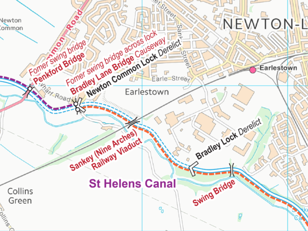
- Earlestown – Sankey (Nine Arches) Viaduct
- Old Double Locks Junction – End of St Helens Canal
- Blackbrook Branch – Start at Old Double Locks Junction
- Blackbrook Branch – End of Navigation
- Gerard’s Bridge Branch – Start at Old Double Locks Junction
- Gerard’s Bridge Branch – New Double Locks Junction
- Gerard’s Bridge Branch – End of Navigation
- Boardman’s Bridge Branch – Start at New Double Locks Junction
- Boardman’s Bridge Branch – Junction with Ravenhead Branch
- Boardman’s Bridge Branch – End of Navigation
- Ravenhead Branch – Start at Junction with Boardman’s Bridge Branch
- Ravenhead Branch – End of Navigation

My understanding has always been that the thing that made the Bridgewater stand out was that it was the first wholly artificial canal, whereas the St Helens Canal/Sankey Brook Navigation was just an extension of previous practice of creating artificial cuts to make rivers navigable/easier, even if it ended up being almost all artificial cut and gaining the “Canal” in some versions of its name.
The Act authorising it, “An Act for making navigable the River or Brook called Sankey Brook…” hints at the initial mindset, at least, even if that wasn’t really what emerged, any more than the Oxford Canal is the River Cherwell Navigation.
In one sense, taking a wider view then neither was particularly remarkable when one considers the impressiveness of the Canal du Midi, for instance, which significantly predated both.