1,000 Pages of Maps
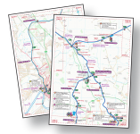
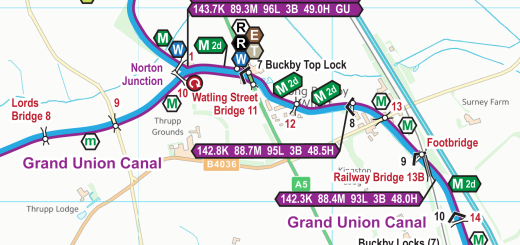
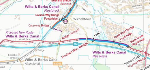
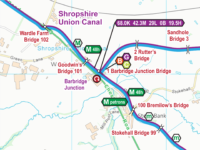
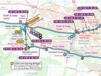
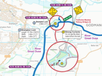
Actually 1,006 different pages of A4 mapping make up my England & Wales maps in Acrobat (pdf) format.
And the same 1,006 different pages joined into one large continuously scrollable and zoomable map for use in Memory‑Map (qct) format.
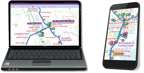
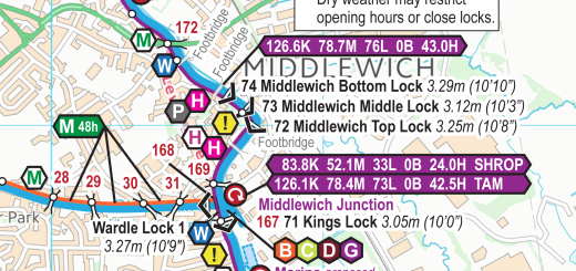
Quarterly updates make these maps more up to date than our rivals, with clearer full colour mapping and more information, such as mooring times clearly shown.
More than 50 free maps to download so you can try them out free of charge.
Recent Comments