Map Updates – Issue 102 – July 2020
I am pleased to say the monthly updates for my maps for July 2020 are now available.
All these monthly updates mean you not only start with an up to date map but you can keep them up to date too.
Despite the coronavirus there are almost as many waterway updates as usual this month; all carefully sourced in accordance with the lock-down rules at the time. A big thank you to those who spotted the changes during their permitted movements and let me know.

Those maps with significant changes include:-
Whole Country Map
Rings
- Birmingham MIni Ring Map
- Cheshire Ring Map
- East Midlands (Leicester) Ring Map
- Four Counties Ring Map
- South Pennine Ring Map
- Warwickshire Ring Map
Waterways
- Aire & Calder Navigation Map
- Ashby Canal Map
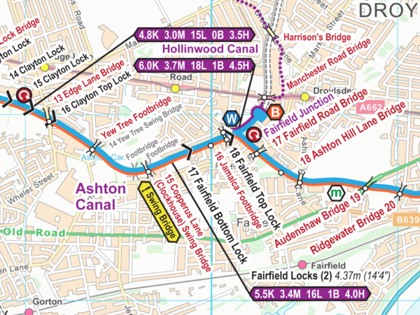
- Ashton & Peak Forest Canals Map
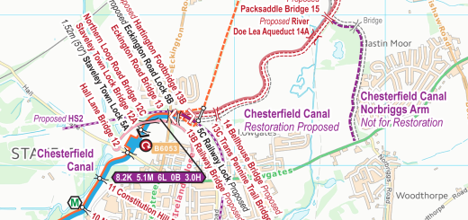
- Chesterfield Canal Map
- Cotswold Canals Map
- Coventry Canal Map
- Forth & Clyde and Union Canals Map
- Grand Union Canal (All) Map
- Grand Union Canal (North) Map
- Huddersfield Canals Map
- Llangollen Canal Map
- Macclesfield Canal Map
- Montgomery Canal Map
- River Ouse and Tributaries Map
- Trent & Mersey Canal Map
You can update your map to the latest version – cost price for the next six issues after purchase, then a discounted charge after that. You can also upgrade to a larger map. Just email paul@waterwayroutes.co.uk with details of your existing maps for a no obligation quote.


Recent Comments