Map Updates – Issue 86 – March 2019
I am pleased to say the monthly updates for my maps for March 2019 are now available.
All these monthly updates mean you not only start with an up to date map but you can keep them up to date too.
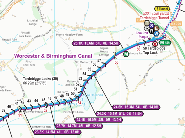
There’s a lot of updates this month – the maps with the most significant changes to the waterway information are:-
Whole Country Map
Waterways
- Aire & Calder and Calder & Hebble Canal Map
- Calder & Hebble Canal Map
- Fossdyke & Witham Navigation Map
- Grand Union Canal Maps
- Kennet & Avon Canal Map
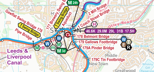
- Leeds & Liverpool Canal Map
- Llangollen Canal Map
- Middle Level Navigations Maps
- Monmouth & Brecon Canal Map
- Oxford Canal Map
- River Great Ouse and Tributaries Map
- River Thames Canal Maps
- Rochdale Canal Map
- Sheffield & South Yorkshire Canal Map
- Shropshire Union Canal Map
- Staffs & Worcester Canal Map
- Trent & Mersey Canal Map
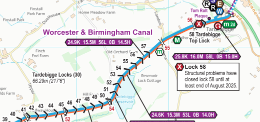
- Worcester & Birmingham Canal Map
Rings
- Avon Ring Map
- Black Country Ring Map
- East Midlands (Leicester) Ring Map
- Four Counties Ring Map
- Mid Worcestershire (Droitwich) Ring
- South Pennine Ring Map
- Stourport Ring Map
- Warwickshire Ring Map
You can update your map to the latest version – cost price for the next six issues after purchase, then a discounted charge after that. You can also upgrade to a larger map. Just email paul@waterwayroutes.co.uk with details of your existing maps for a no obligation quote.

Recent Comments