Shrewsbury and Newport Canals
The Shrewsbury Canal once ran from Shrewsbury to Wappenshall Junction where it met the Newport Canal which ran to meet the Shropshire Union Canal at Norbury Junction.
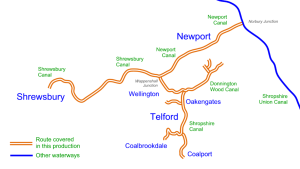
Branches included the Donnington Wood Canal and the Shropshire Canal ran south to reach Coalbrookdale and Coalport on the River Severn. I have just released my detailed maps for the Shrewsbury and Newport Canals which, like all my maps for restoration projects are free to download.
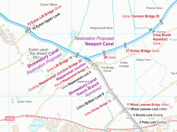
The Shrewsbury and Newport Canals are proposed for restoration with lots more information available from The Shrewsbury and Newport Canals Trust.
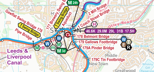
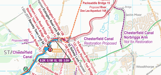
Is it possible to get a map of the Shrewsbury and the Newport canals showing details of locks and London-on-Tern aqueduct? They all seem to be mere sketch maps
Kirk: Following the links in the post above will lead you to the free download of the map which fills 13 x A4 pages and is just as detailed as the map extract above.
You can go straight to the post at Free Shrewsbury & Newport Canals Maps and look for the download links at the end of the post.