Lapal Canal
The Lapal Canal is the name now associated with the restoration of the Dudley No 2 Canal using an alternative route in places.
History
The Dudley No 2 Canal once ran from Parkhead Junction , where it meets the Dudley No 1 Canal, to Selly Oak Junction where it met the Worcester & Birmingham Canal. It opened in 1798 and carried significant traffic once the Worcester & Birmingham Canal was completed in 1802.
The route included Lapal Tunnel, some 3461 metres (3785 yards) long, the second longest canal tunnel at the time, just 20m (22 yards) shorter than Sapperton Tunnel on the Thames & Severn Canal. The tunnel suffered many collapses, mostly caused by mining subsidence, and was abandoned after a major collapse in 1917.
The section of the Dudley No 2 Canal to the east of the abandoned tunnel remained navigable to a brick works at California until 1953 when it was drained and filled in. To the the west of tunnel the navigation was effectively terminated at Hawne Basin, with a short length beyond being used for moorings.
In 1990 the Lapal Canal Trust was formed to support the restoration of the Dudley No 2 Canal, or Lapal Canal as the restoration section was becoming know.
Restoration
In 1997, Dudley Council restored a section of the canal at Leasowes (not far from Hawne Basin).
A study, commissioned from Atkins in 2007, confirmed that re-opening Lapal Tunnel was not practicable and recommended an alternative route using locks to take the canal over the top of the hill instead of through it.
In 2013, planning permission was granted for development of a site alongside the Worcester & Birmingham Canal at Selly Oak which would block the line of the Lapal Canal and prevent restoration. Fortunately, after considerable pressure from the public, the plans included provision for reinstatement of the canal, on a new alignment a little further south. The developers will make provision for the canal but it’s not clear if they will finish construction and and open the route without additional external funding. The development is expected to finish in 2017.
In late 2015 the next 100 metres of canal after the Selly Oak development was dug out and will become connected to the Worcester & Birmingham Canal by the new channel through the development, probably during 2017.
There are no more active plans for completing the Lapal Canal, although there is much local enthusiasm.
Further Information
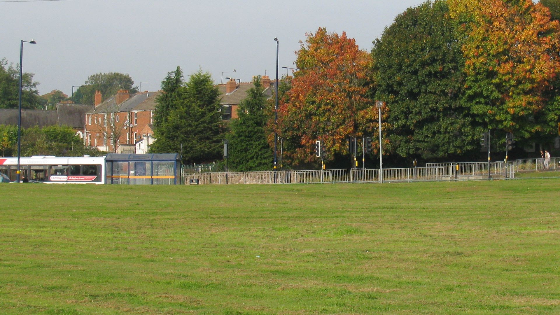
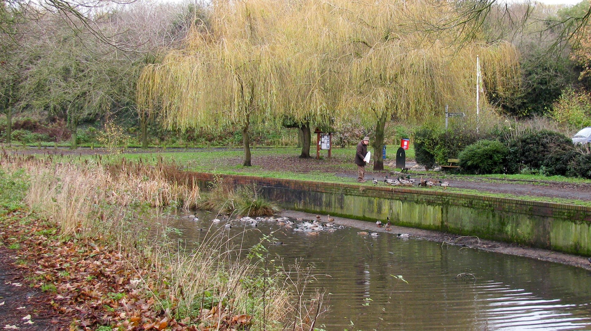
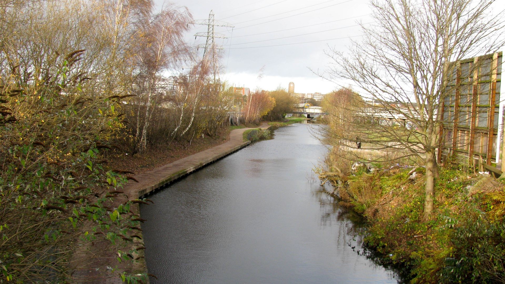
You can view a virtual cruise along the canal, just choose your starting point and click the “Next” links:-
- Selly Oak Junction (recommended start)
(Junction with the Worcester & Birmingham Canal) - Hawne Basin
(Junction with the Dudley No 2 Canal)
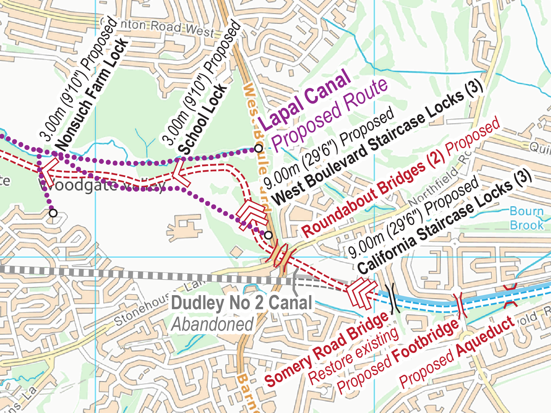
You can download free Lapal Canal maps in a choice of Acrobat (pdf) and Memory-Map (qct) formats. These show both the original route of the Dudley No 2 Canal and the proposed route of the Lapal Canal.
How close to Manior Abbey Estate did the Lapal canal run? Was it near the A456? I am fascinated!
Marilyn: If you follow the link in the post you can download the free map of the Lapal Canal and see exactly where it ran.
Thanks for an enjoyable virtual walk on a snowy January evening when I don’t want to go out for real.
Stephen: I’m pleased you enjoyed the virtual walk along the Lapal Canal.
Also your assumptions on the position of the East Portal of the Lapal tunnel appear correct I use this resource more than I should 9 to 5 Monday to Friday!! http://maps.nls.uk/geo/explore/#zoom=16&lat=52.4450&lon=-1.9737&layers=6
use the blue “change of transparency” left of screen to slide the overlayed maps.
Playing with the different maps too choose from will loose you for hours!
You may already be aware of this source, apologies if so.
Ade
Ade: Yes, that’s a very useful resource I look at frequently. I’m pleased to see your interpretation of the old OS map matches mine.
Very informative Paul enjoyed the virtual tour. Well researched and written.
Ade: I’m pleased you enjoyed the virtual tour.