Uttoxeter Canal Map
The Uttoxeter Canal once ran from Froghall Junction at the end of the Caldon Canal to Uttoxeter. The canal opened in 1811 and closed in 1849, except for the first lock and basin which remained in use until 1930. The Churnet Valley Railway was built on parts of the canal bed.
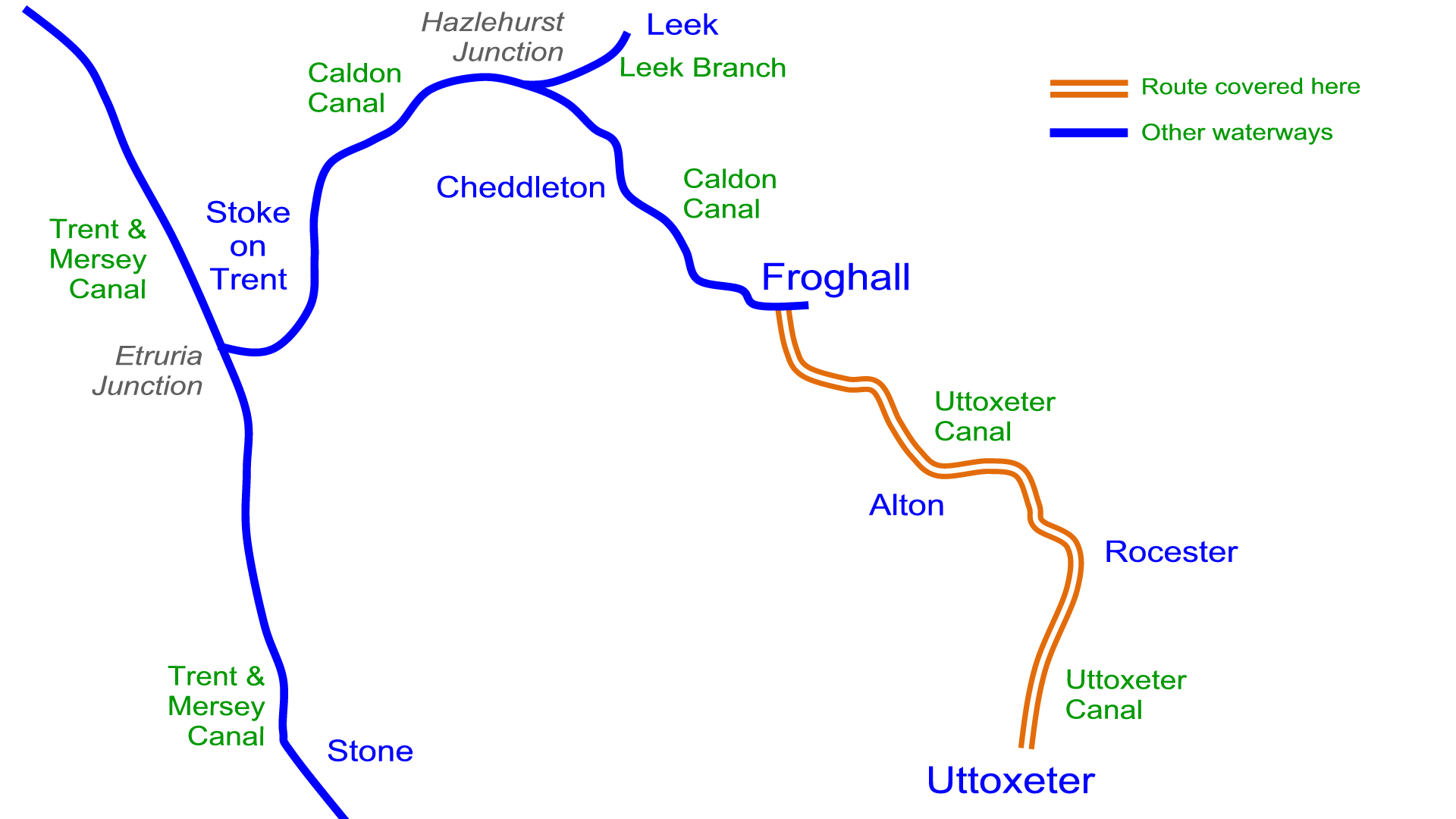
The first lock and basin re-opened in 2005 as the first stage in restoration.
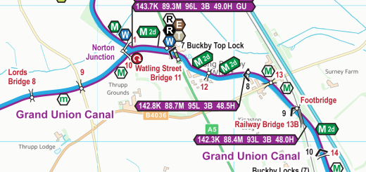
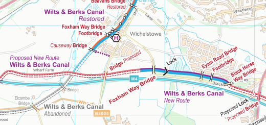
My December map updates included a Uttoxeter Canal map showing the original route and the proposed new route for restoration. Like all the maps for canal restoration projects the Uttoxeter Canal map is free to download.
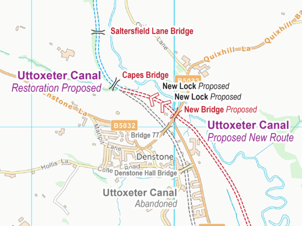
This is the latest map to be released covering restoration projects around the connected canal systems. I have two more projects in hand then I’m wondering which to draw next. Do you have any suggestions about which canal restoration projects I should be producing maps for next? Please leave a comment, or email me direct – those most requested are likely to be next on my list.
Recent Comments