Map Updates – September 2015 – Issue 42
It’s the middle of the month and the latest map updates have just been published.
Our England & Wales map is now at Issue 42 with the monthly updates – nobody else can match that for regular updating. We’ve collected our own updates while cruising over the past month, a few regular contributors have fed me details of the updates they have spotted, and a few customers have been kind enough to email changes they have spotted.
Whatever the source of information, once we’ve made any checks to validate the information and make sure, for example, it’s a permanent change and not just a facility that’s out of action for repairs, it goes straight onto the master map. Then, around the middle of each month, all the maps that have changes on them are reissued.
When you obtain a map from us you not only get the most up to date maps to start with but you the first year of updates by download are included so you can keep them up to date. A small fee (20% per year) will enable you to keep them up to date for future years too.
Compare that with printed books that start to go out of date the day they go to the printers – which could be several months or even years out of date when you buy them – and where you have to pay full price again for the next issue which will already be a few months out of date by the time its printed again.
This month we have updates to the following maps – and it’s unlikely that these updates will be in any of the printed books
Birmingham & Fazeley Canal Maps
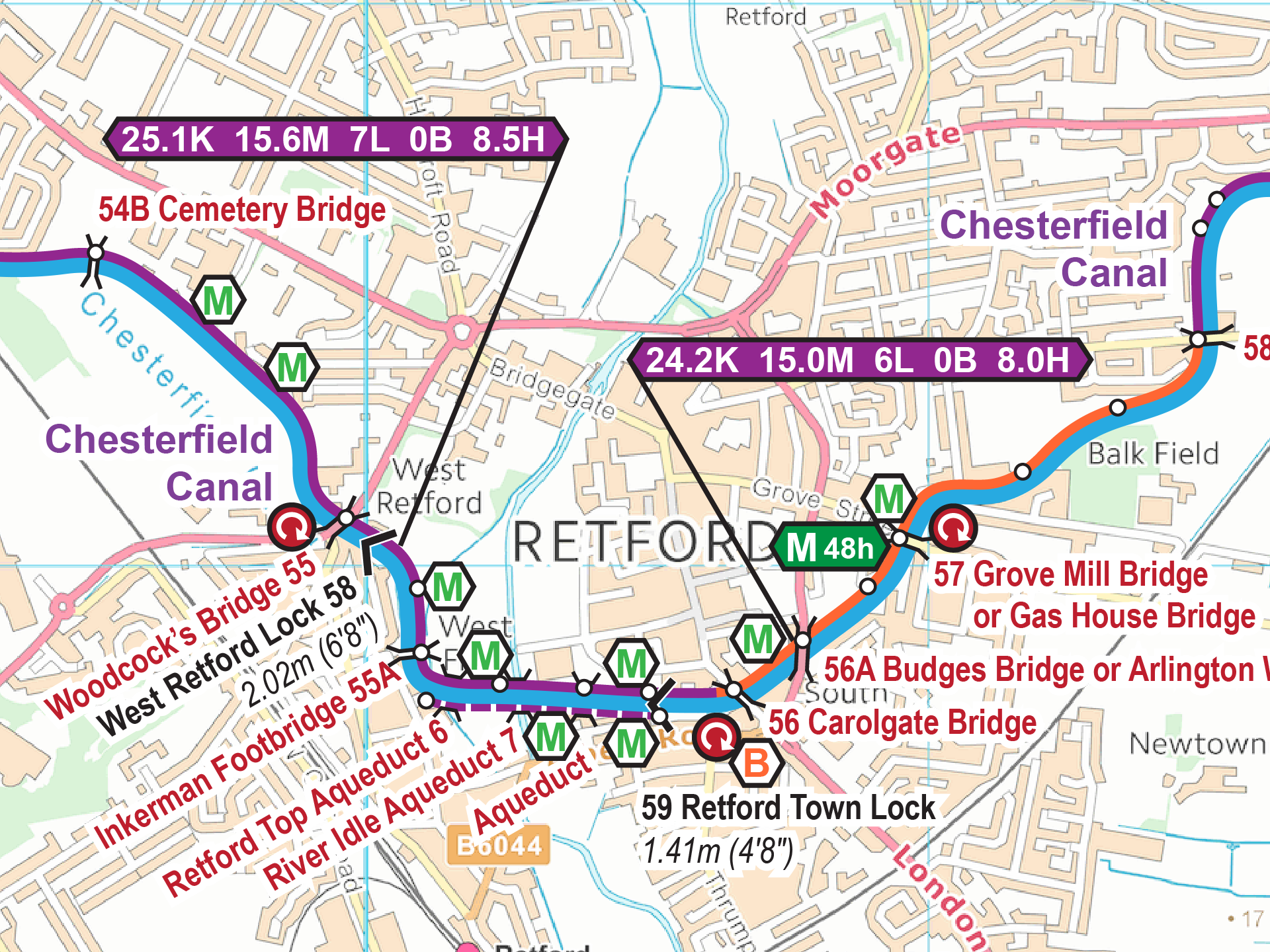
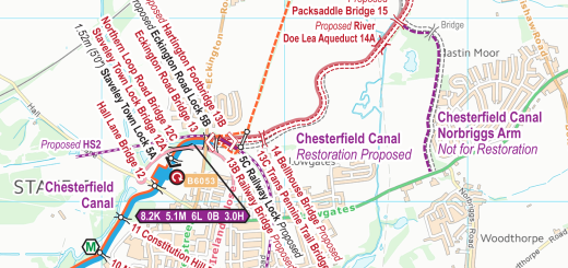
Chesterfield Canal Maps
Coventry Canal Maps
Fossdyke & Witham Navigations Maps
Kennet & Avon Canal Maps
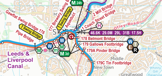
Leeds & Liverpool Canal Maps
River Slea Maps
River Thames Maps
River Trent Maps
Sheffield & South Yorkshire Navigations Maps
Trent & Mersey Canal Maps
Black Country Ring Maps
East Midlands Ring Maps
Warwickshire Ring Maps


Recent Comments