Grand Union Canal – Leicester Section DVDs
I am pleased to say our Grand Union Canal – Leicester Section DVDs have just been released.
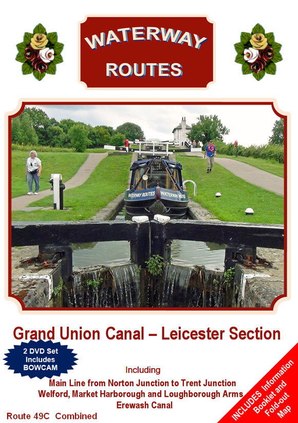
The Grand Union Canal – Leicester Section DVDs are available in our usual three formats:-
- Popular – like a television programme showing the highlights of the canal
- Bowcam – a forward facing camera, speeded up for a little fun, showing the whole canal
- Combined – both Popular and Bowcam in one box for the best of both worlds, saving money and postage.

Popular, Bowcam and Combined (left to right).
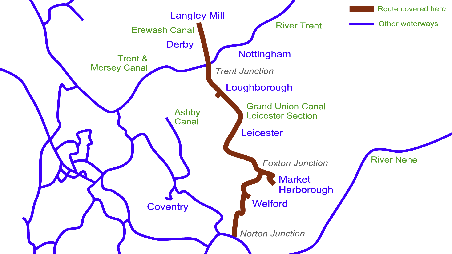
The DVDs follow the Leicester Section of the Grand Union Canal from Norton Junction to Trent Junction, including the Welford, Market Harborough and Loughborough Arms. We complete our journey along the Erewash Canal from Trent Junction to Langley Mill.
The Popular and Combined DVDs each include an information booklet and a fold-out map.

Both Popular and Bowcam discs, a fold-out map and an information booklet
Enjoy this canal from the comfort of your armchair as you watch our Grand Union Canal – Leicester Section DVDs.
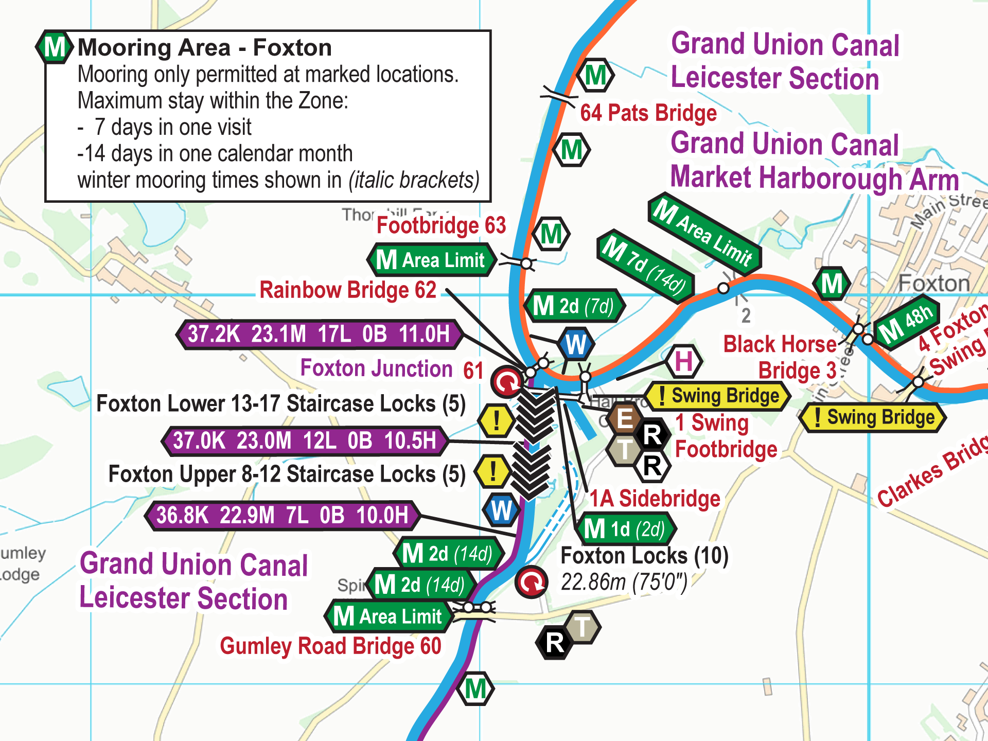
We also have the Grand Union Canal – Leicester Section Maps which are available to download in both Acrobat (pdf) and Memory-Map (qct) formats..

 RSS Blog Feed
Recent Comments